

Sardis Lake is a 98,520 acre reservoir on the Little Tallahatchie River in Lafayette, Panola and Marshall counties. Construction took four years. Authorization for the project came when President Franklin D. Roosevelt signed the Flood Control Act of 1936.
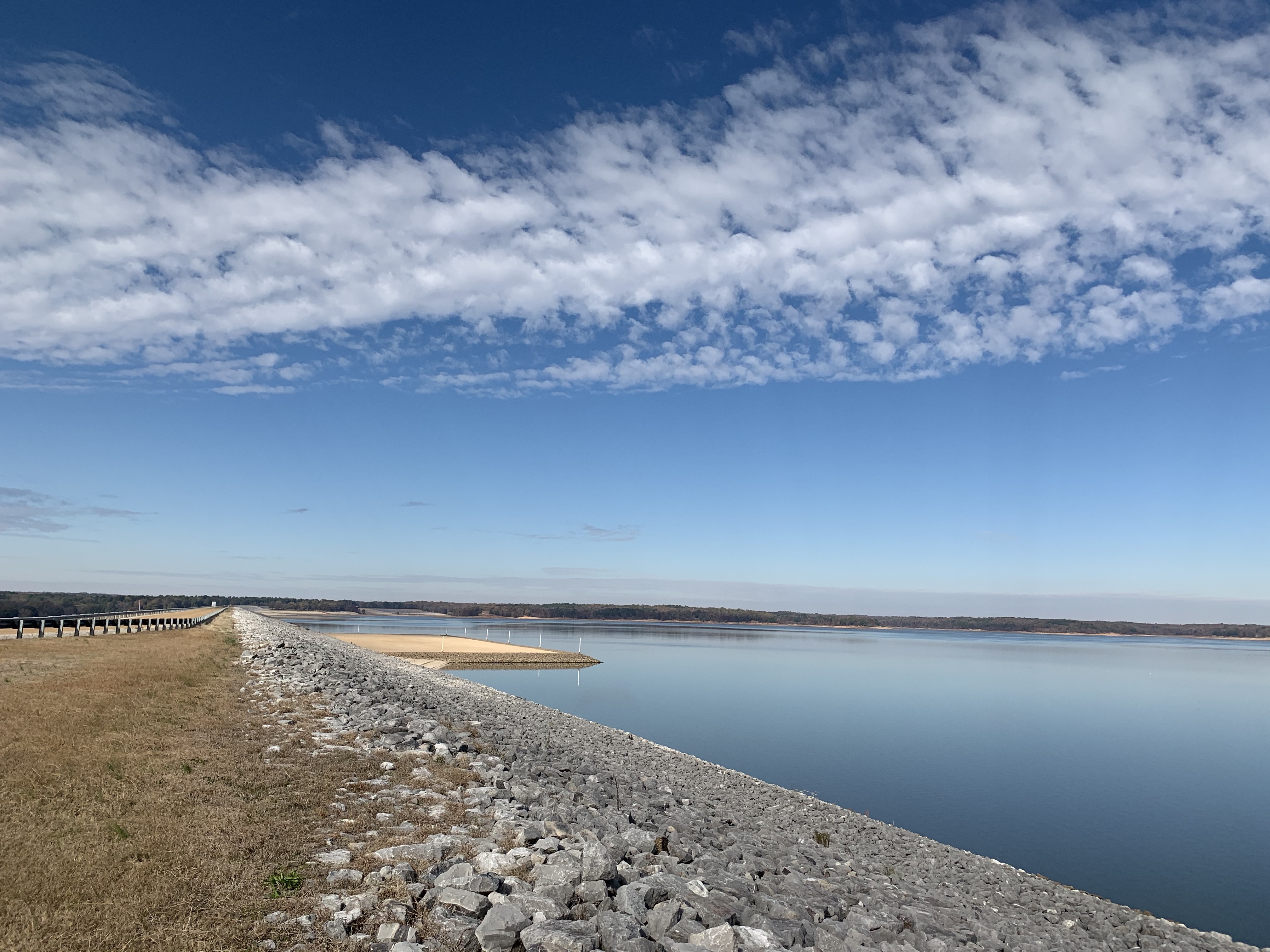
Built by the Corp of Engineers, Sardis Dam began operating in October 1940. The dam contains 16,500,000 cubic yards of material and controls a drainage basin of 1,545 square miles. Using the hydraulic-fill method for construction, the dredge Pontotoc pumped soil from below the dam creating a 472 acre Lower Lake. At 15,300 feet long and 97 feet high, it is the last major hydraulic-fill dam built in the United States.
A state park with swimming pool, recreation hall, cabins and a golf course are located at Sardis Lake. John W. Kyle State Park works in coordination with the U.S. Corps of Engineers, Vicksburg District.
Sardis Lake Spillway. Always a neat spot to enjoy the Mid South.
Sardis Lake is a beautiful spot to fish, boat or just relax. The lake seems to touch the sky.

Location:
4235 State Park Road. Sardis, MS 38666

Leave a comment